Brand: Georadian.com
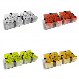
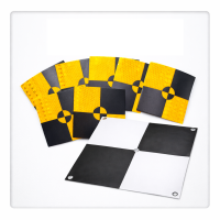
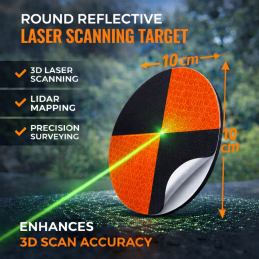
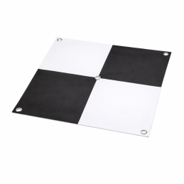
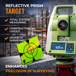
Reflex Target Brands, adhesive 30mm, 40mm, 50mm, 60mm
1 piece.;
4 colors to choose from; white, orange, aquamarine, yellow
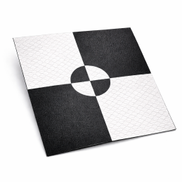
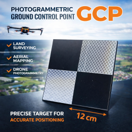
Size: 60mm x 60mm or 40mm x 40mm, 100mm x 100mm
2.63 zł
In stock